Lima Whiskey Ranch: 2,500 Acres

Lima Whiskey Ranch: 2,500 Acres
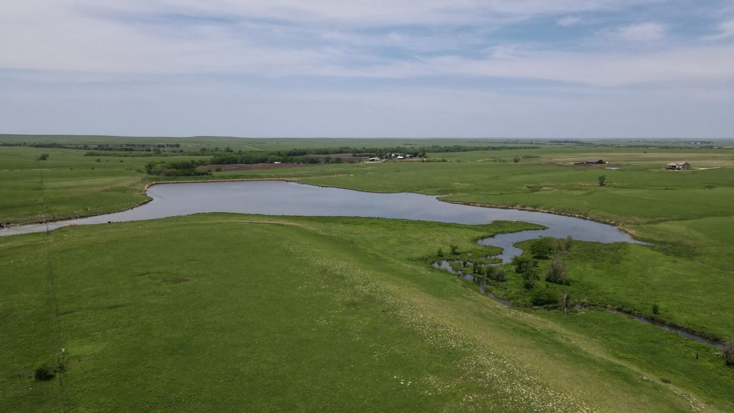
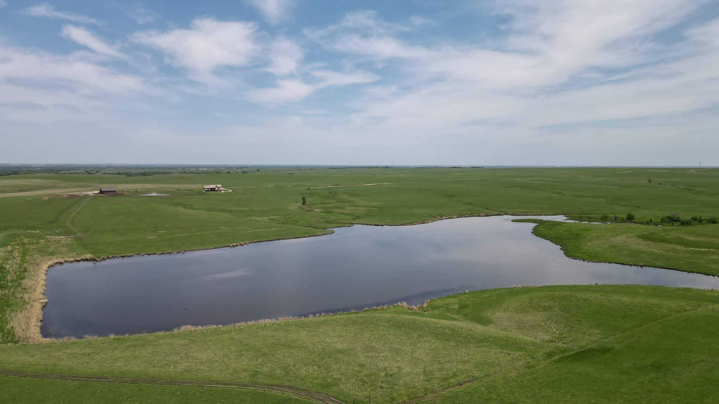
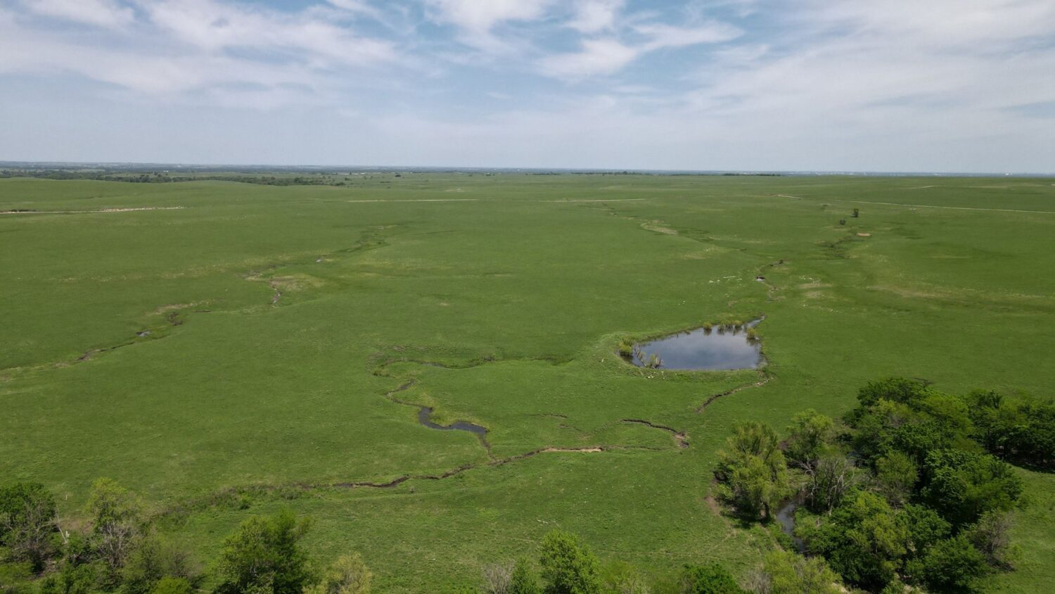
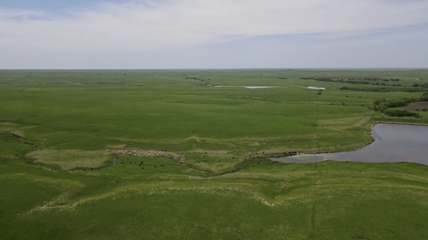
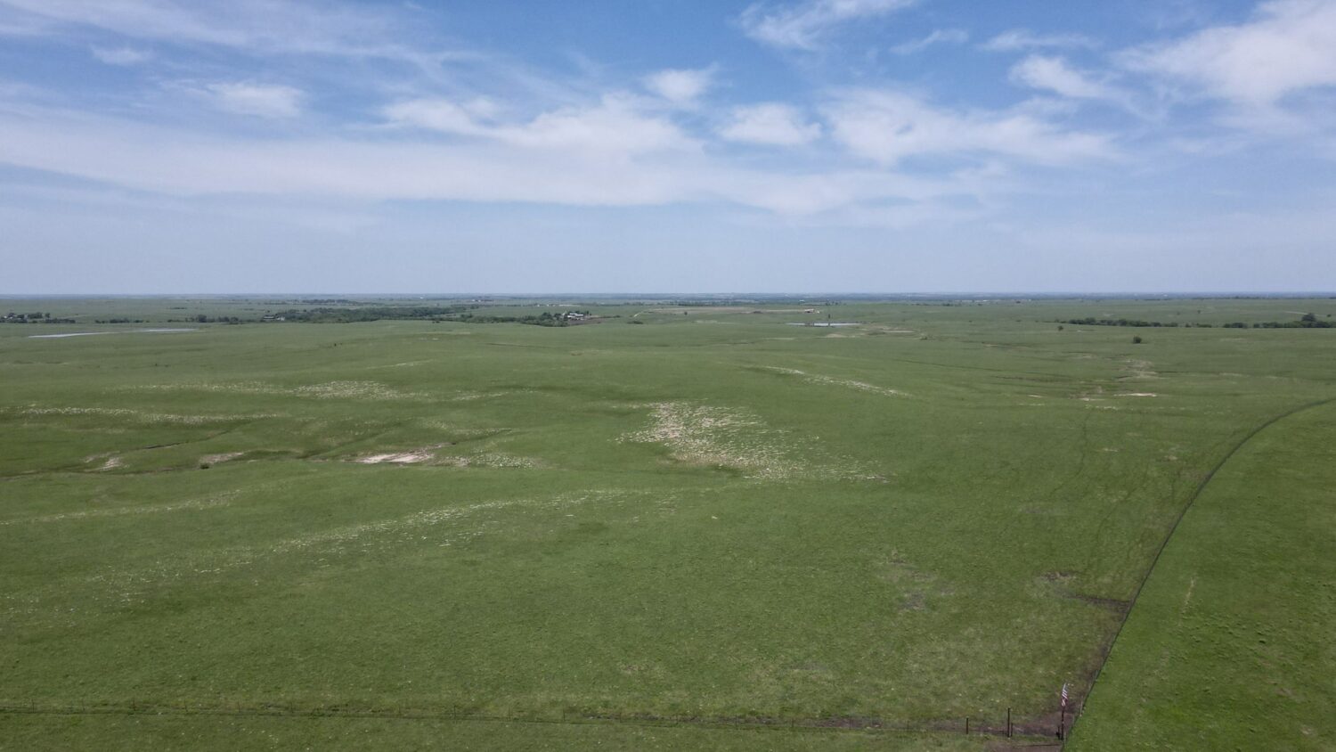
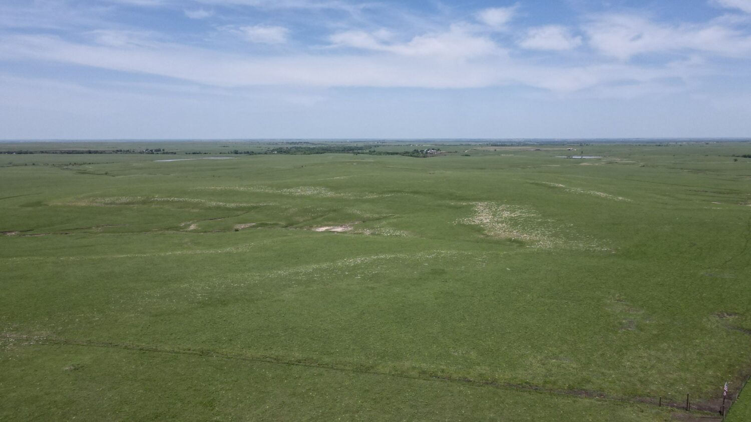
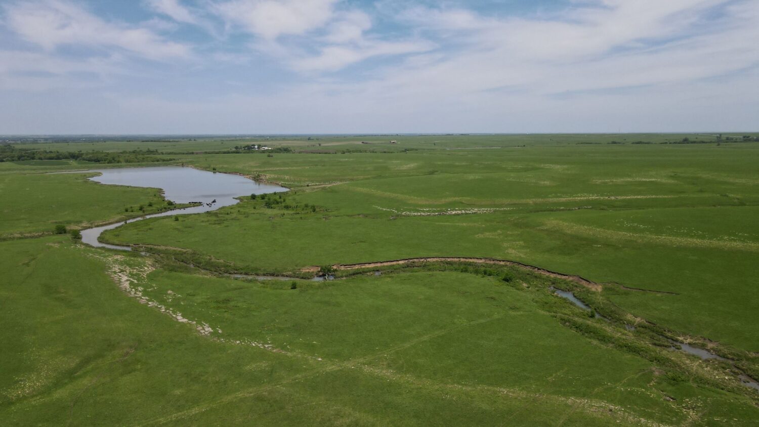
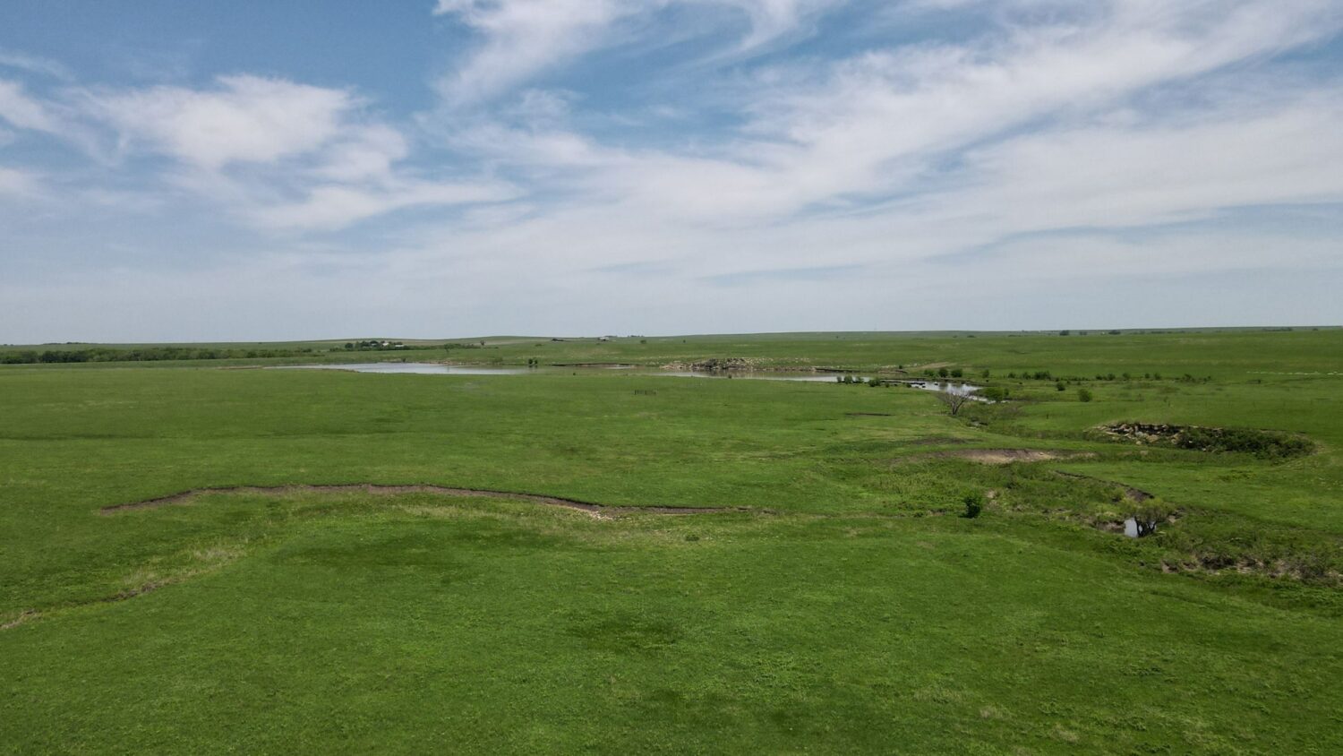
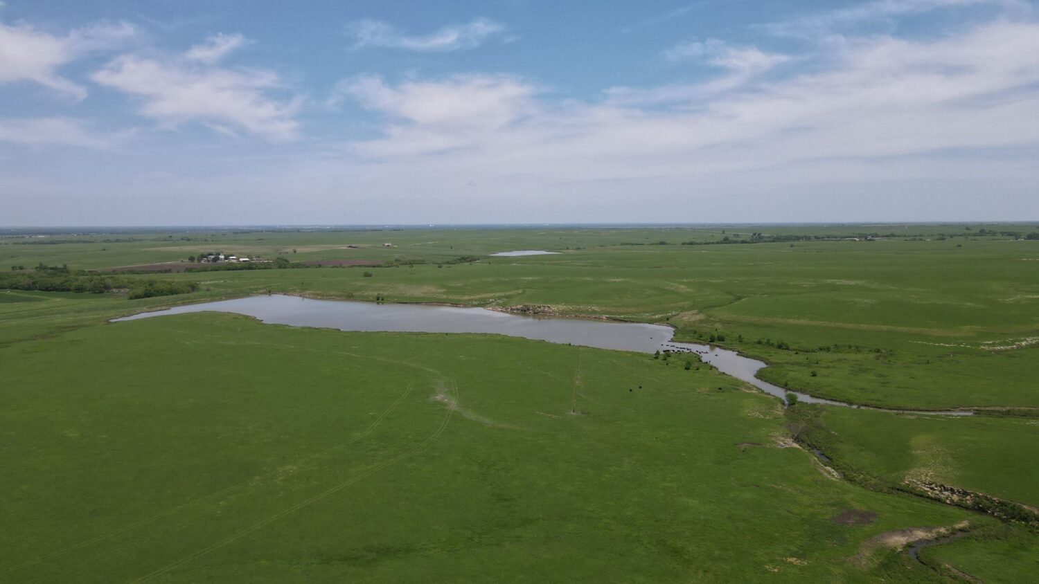
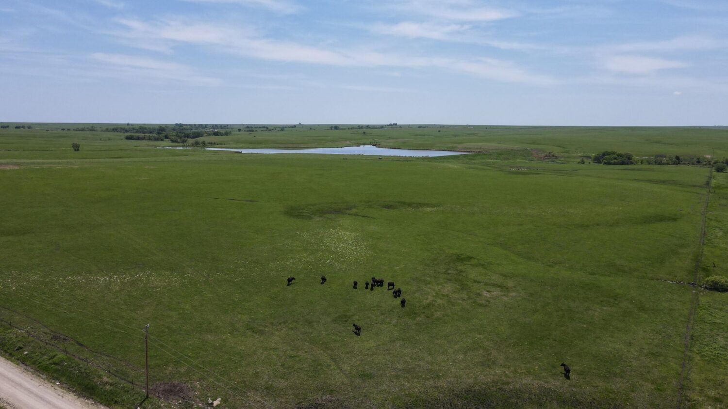
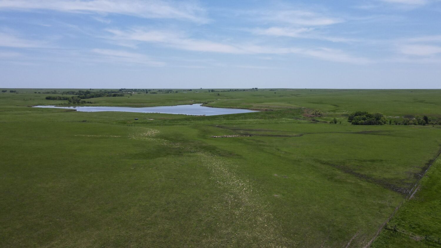
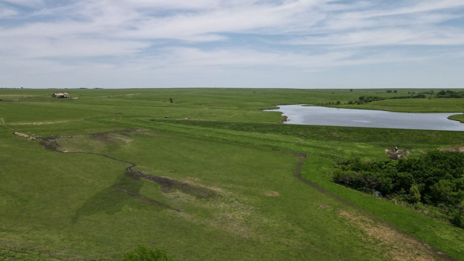
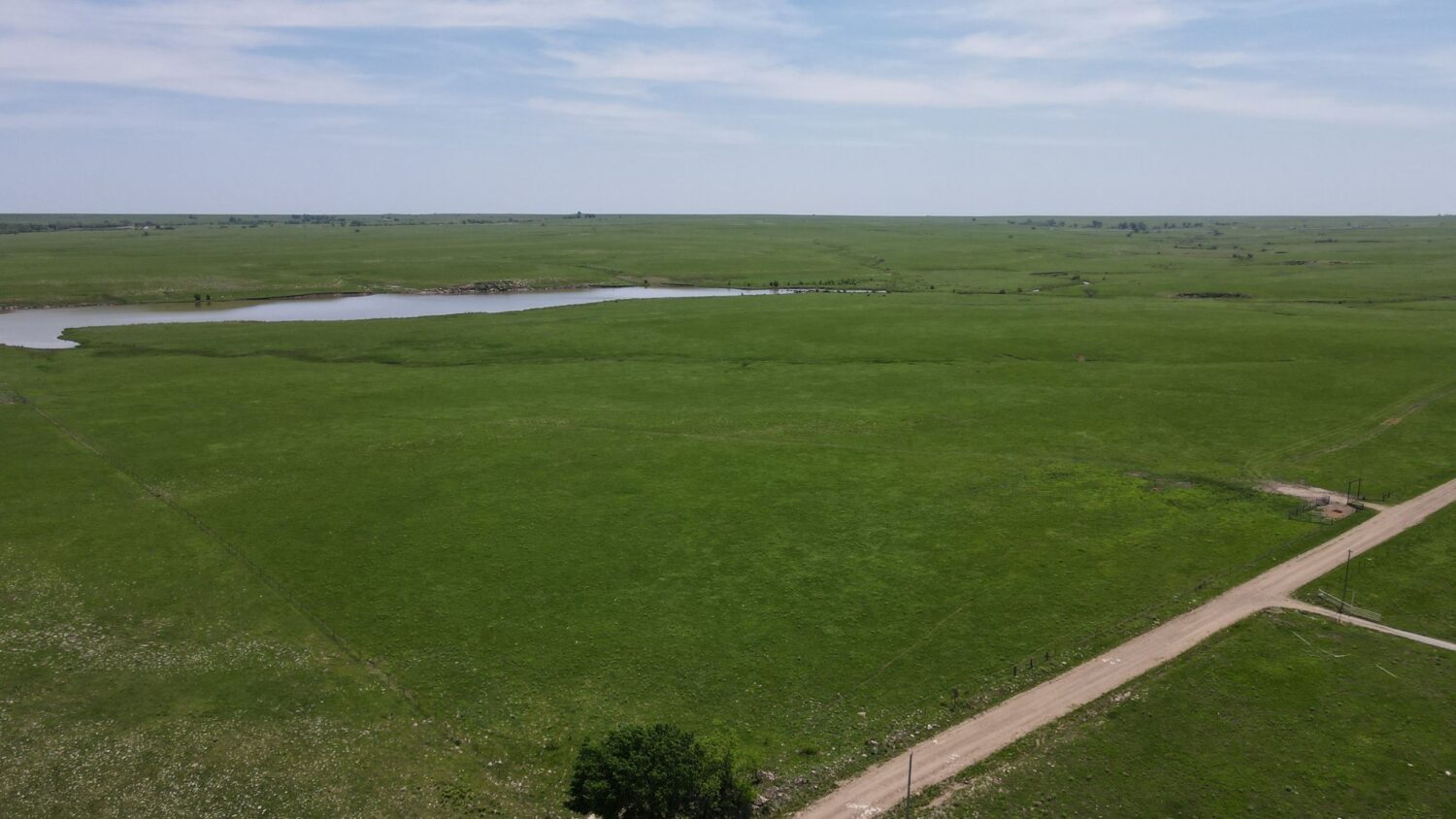
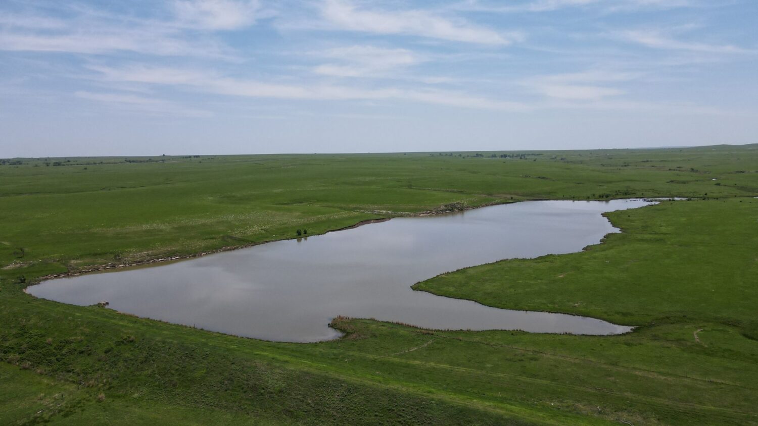
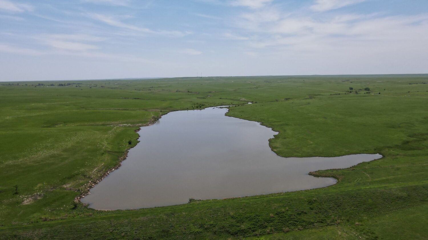
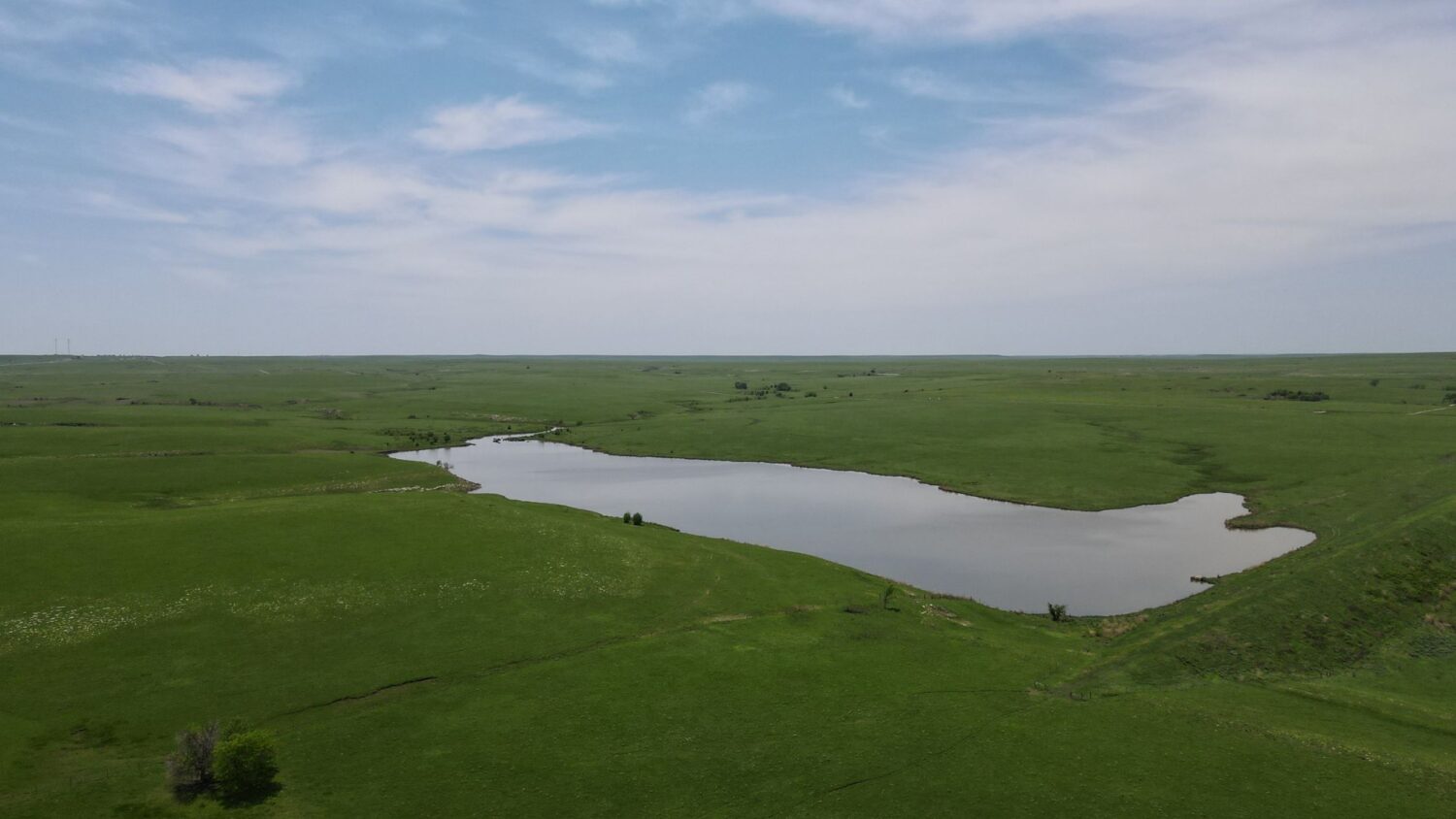
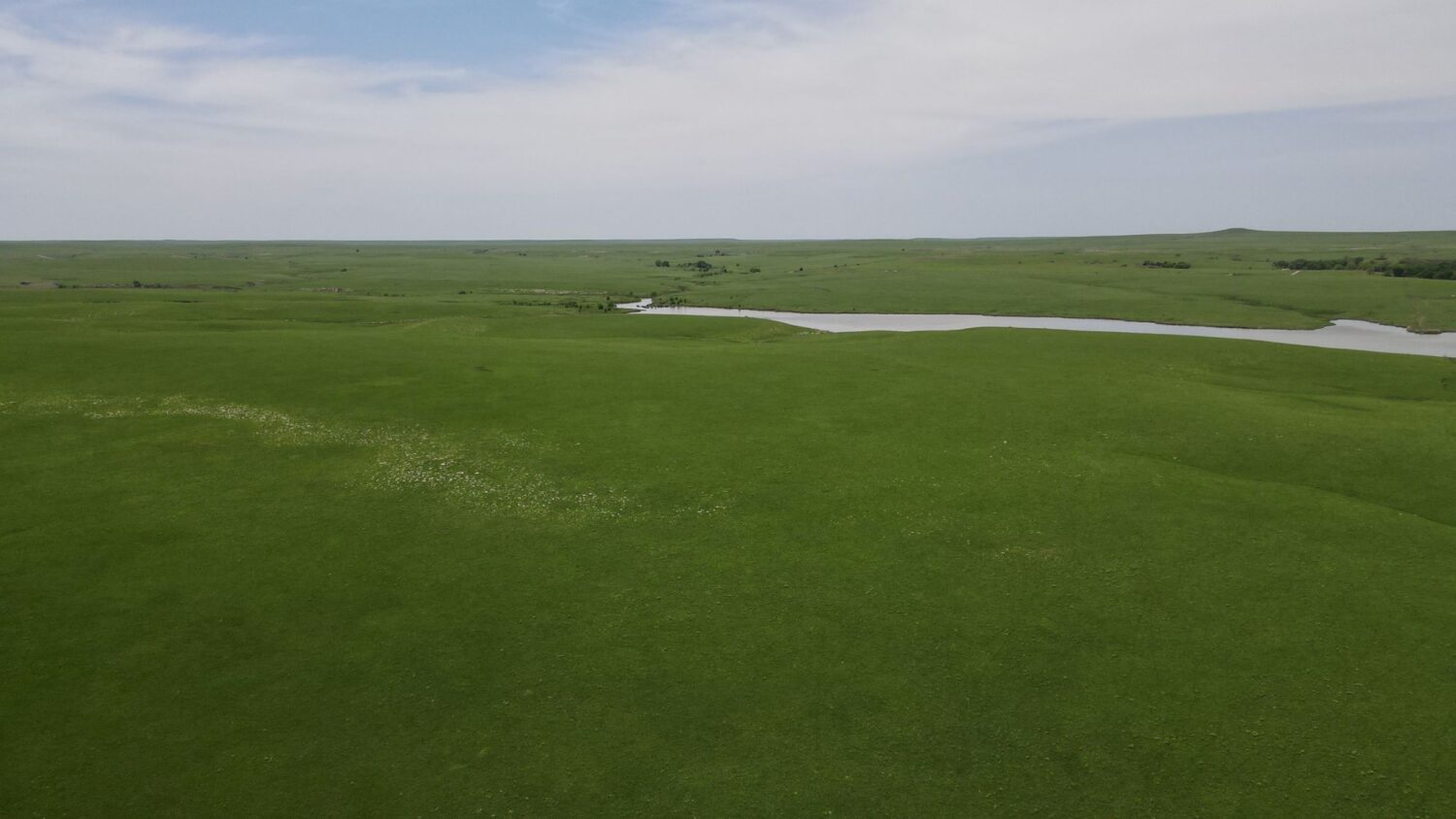
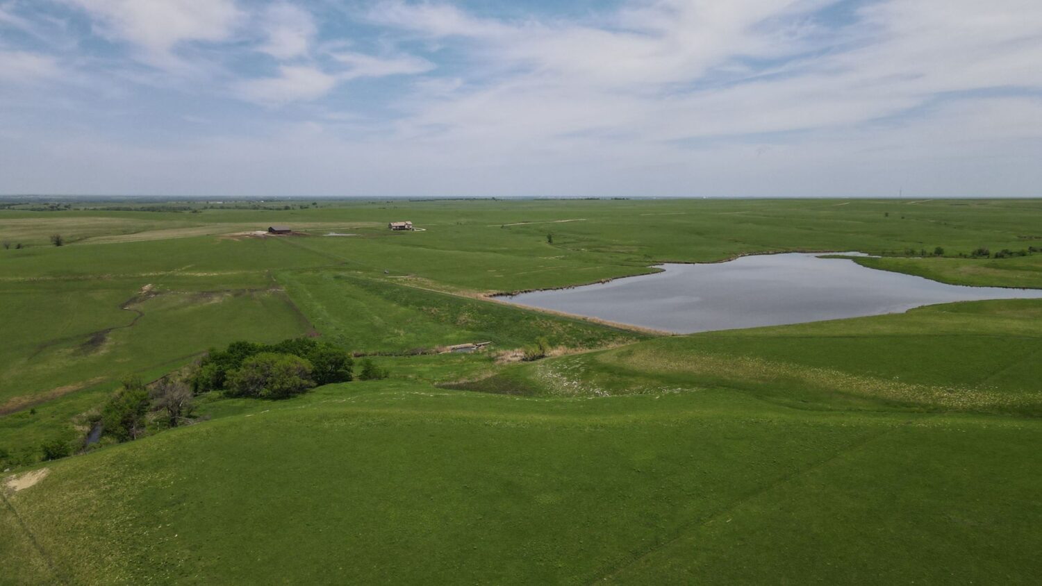
Vaughn-Roth Land Brokers is very honored to represent Lima Whiskey, LLC (Allen Wise) with the marketing and sale of this premium Flint Hills real estate. These tracts of land and custom home are of the highest quality, featuring amenities and attributes that compose one of the finest offerings to hit the market in many years. Whether you are searching for iconic Flint Hills pasture, hunting property or an oasis with a beautiful home as a respite from the hustle and bustle of the city, you’ll want to seize this opportunity. Totaling approximately 2,500 acres, this property is surrounded by rolling hills with excellent Native grass, feature tremendous water sources including lakes of approximately 30 acres and 22 acres, multiple ponds, natural springs and well water. This is a proven ranch that has yielded cattle gains averaging three pounds per day year in and year out according to ranch management. The aesthetics and quality of this offering are unparalleled, and this could very well be the best chance of your lifetime to purchase Flint Hills excellence!
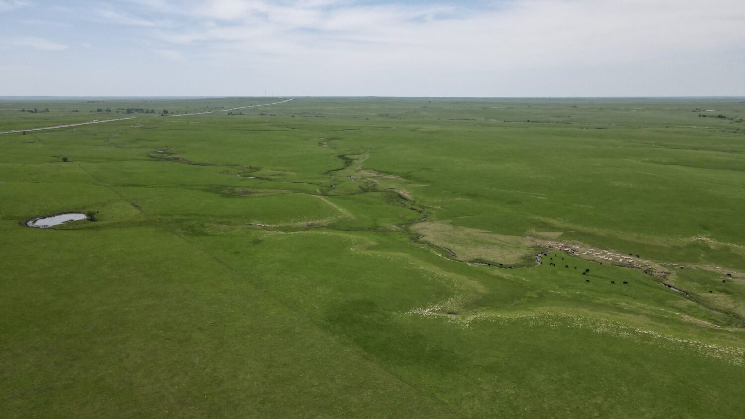
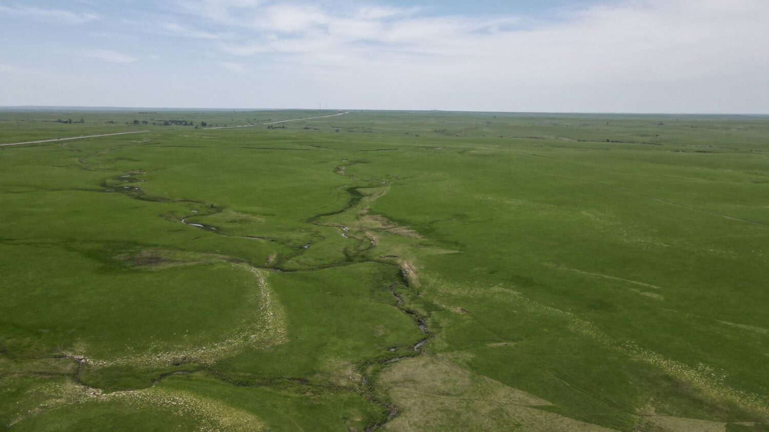
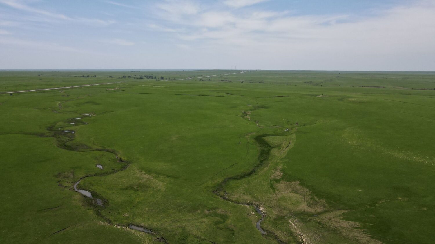
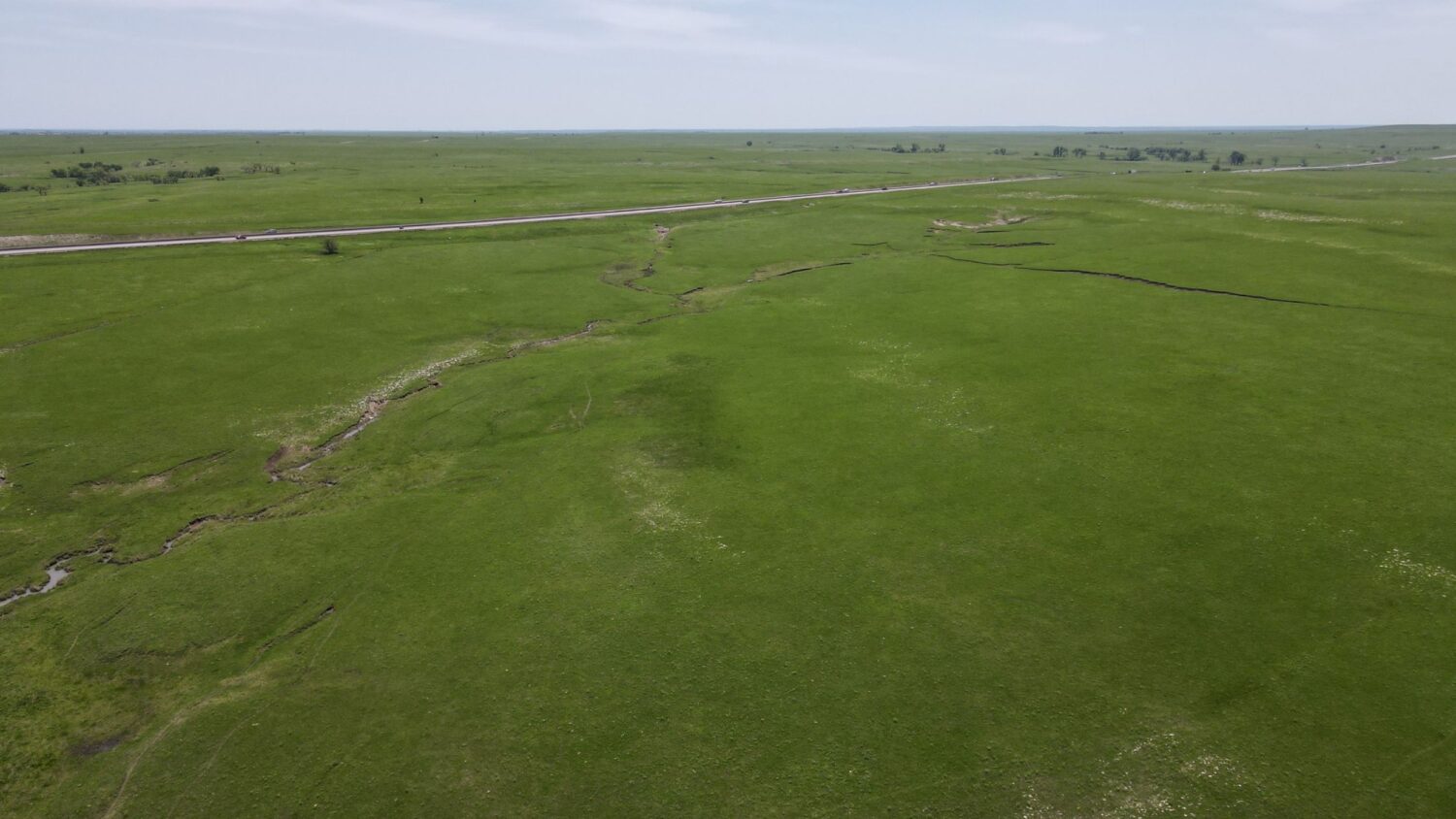
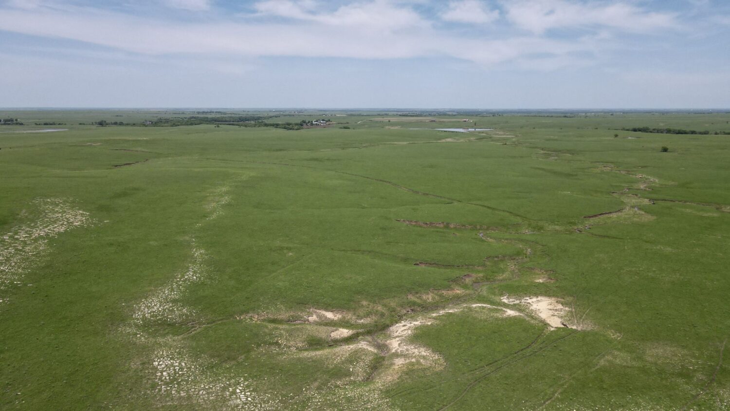
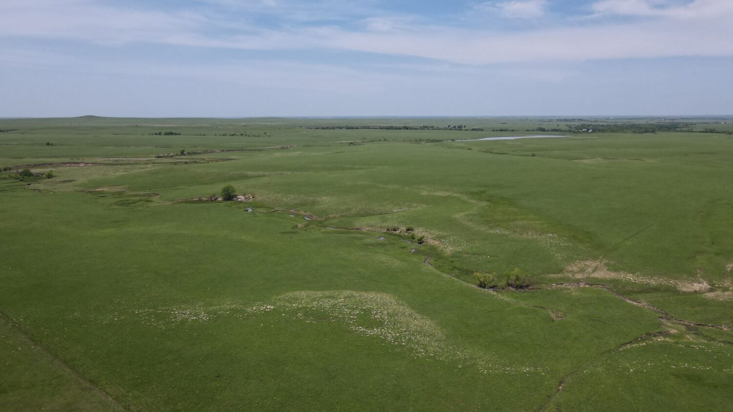
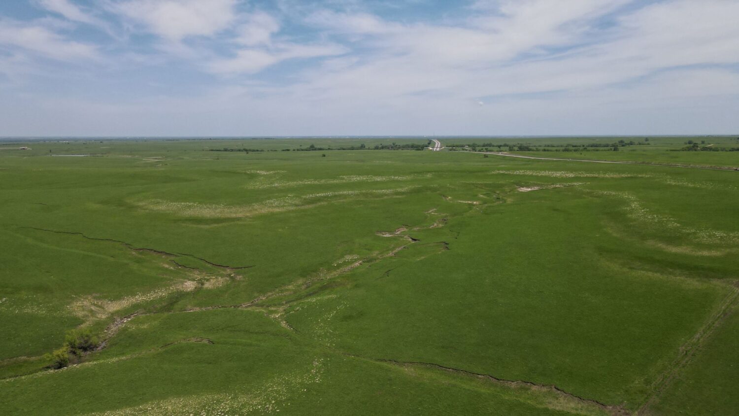
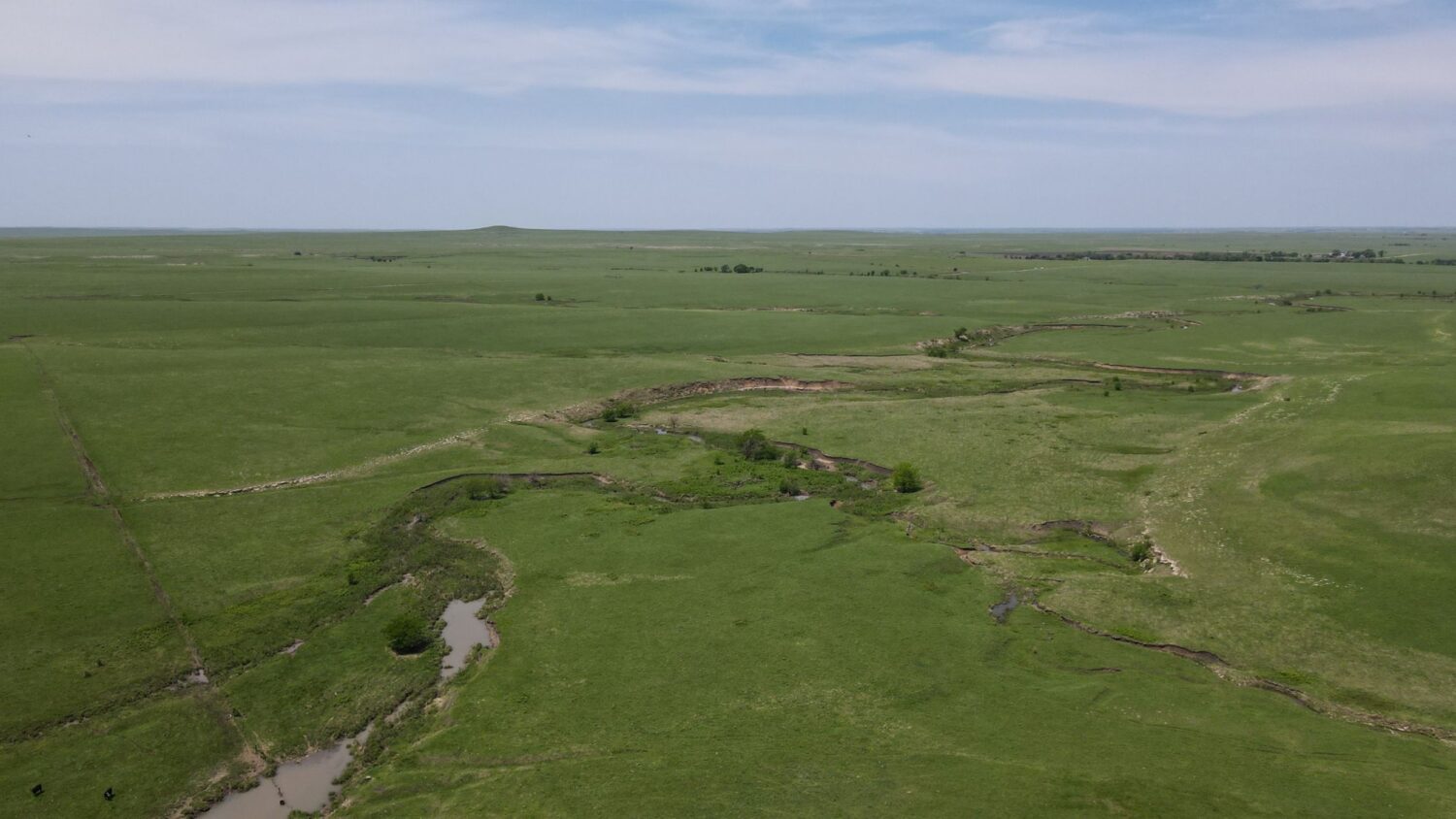
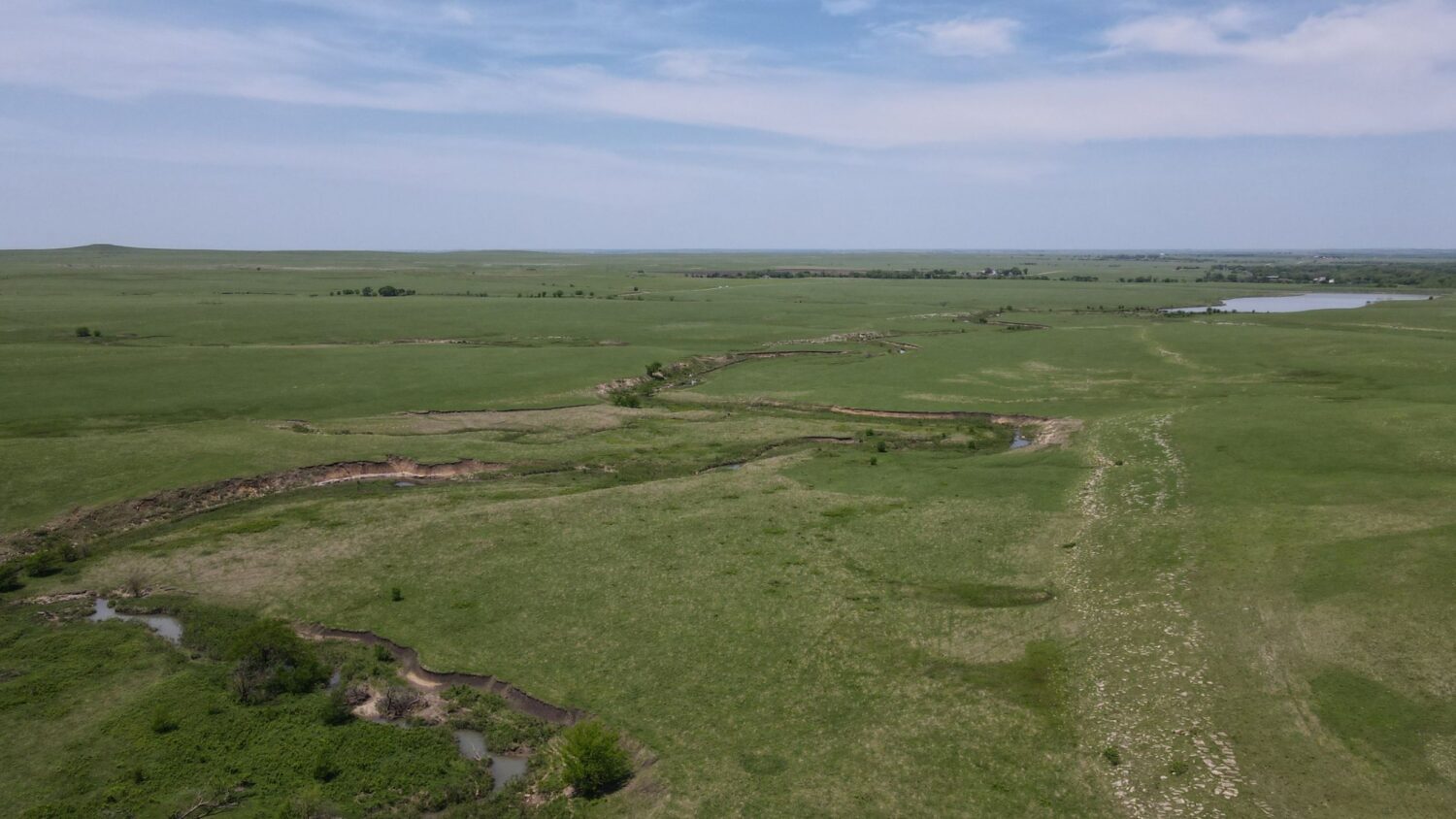
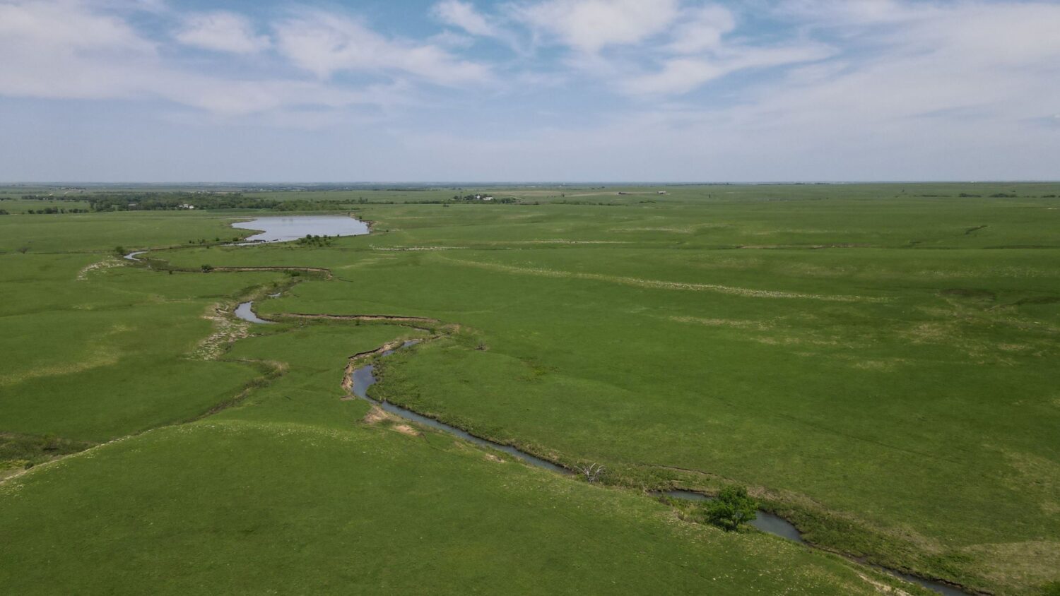
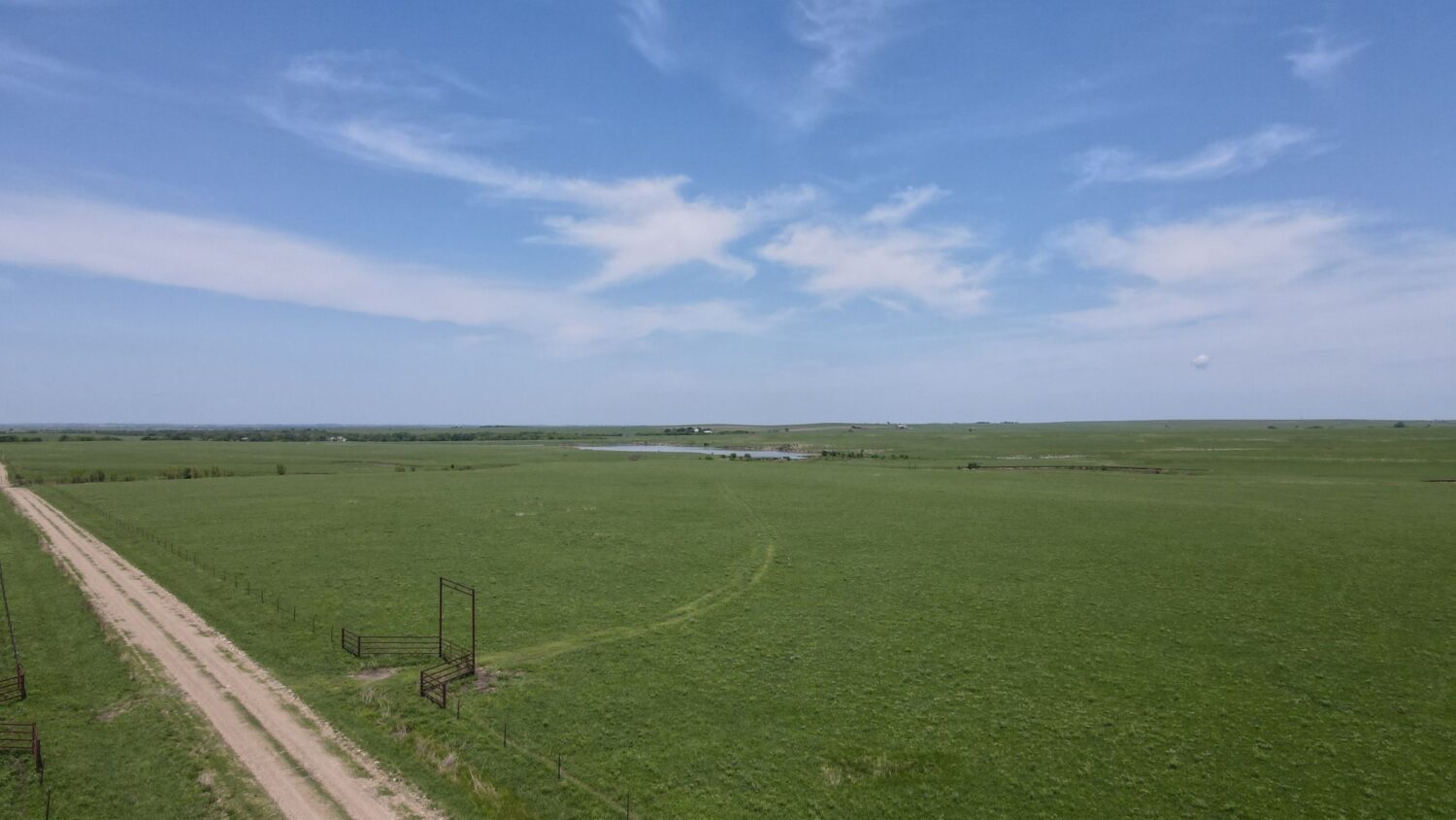
Within the shadow of the iconic Jacob’s Mound, this beautifully rolling property is the epitome of Flint Hills quality and what its Native grasses can produce. The resilient grasses on this tract are in excellent condition, especially for the harsh summer they’ve endured. They are again composed of the “Big 4” of Indian, Switch, Big Bluestem and Little Bluestem complimented by Gama and Grama varieties, mainly Sideoats.
Perimeter fencing on this tract rate from good to excellent with the north and west fences comprised of 5-strand barbed wire rated excellent, the south fence being 4-strand barbed wire rated good and the east fence being partly 5-strand rated excellent and 4-strand rated good. There are two gate entrances along the east boundary with one at the north end and an excellent pipe gate entrance more centrally located.
The water on this tract is derived from a spring that drains from the southwest corner through almost the entire length of this parcel and crosses the road near the northeast corner over onto Tract 1 and eventually feeds the lake on that tract. The most prolific emergent points of the spring during dry times are in the southwest quadrant and near where it crosses the road. During average rainfall years, there are typically pools of water sporadically throughout the entire draw.
Contact Cameron Roth at 785-917-0867 for more information.
Driving Directions: From Emporia, go west on Hwy 50 for 9 miles and turn south on ZZ Rd., following the curve east onto Rd. 215. Proceed 1 mile to YY Rd. and turn south. Follow the signs to multiple tracts that compose Tract 6.
Legal Description:
The West Half (W1/2) of Section 18 except the right of way of the Kansas Turnpike AND the North Half of the Northwest Quarter (N1/2NW1/4) of Section 19 West of the Kansas Turnpike, all in Township 20 South, Range 10 East of the 6th P.M., Lyon County, Kansas AND All of Section 13 and the North Half of the Northeast Quarter (N1/2NE1/4) and the Northeast Quarter of the Northwest Quarter (NE1/4NW1/4) of Section 24, in Township 20 South, Range 9 East of the 6th P.M., AND
The South One-half of the Northeast Quarter (S1/2) NE1/4) and the Southeast Quarter (SE1/4) of Section One (1) and the Northeast Quarter (NE1/4) of Section Twelve (12) LESS the following described tract, to-wit: Beginning at the Southwest corner of said Northeast Quarter (NE 1/4) of Section Twelve, thence East on the half section line 943.5 feet; thence left 533 feet with a deflection angle of 91°26’, thence left 452 feet with a deflection angle of 56°18’, thence right 465 feet with a deflection angle of 56°12’, thence left 505 feet with a deflection angle of 77°10’, thence right 79 feet with a deflection angle of 29°50’ to the West line of the Northeast Quarter (NE 1/4) of said Section 12; thence South on the West line of said Quarter Section to the place of beginning. All in Township Twenty (20) South, Range Nine (9) East of the 6th P.M., Chase County, Kansas.
AND a tract in the Northwest Quarter (NW1/4) of Section Twelve (12), Township Twenty (20) South, Range Nine (9) East of the 6th P.M., Chase County, Kansas described as follows, to-wit: Beginning at a point 1390.5 feet North of the Southeast corner of the Northwest Quarter (NW1/4); thence continuing 410 feet with a deflection angle of 47°24’ to the left of the East line of the Northwest Quarter (NW1/4); thence left 263 feet with a deflection angle of 49°03’; thence right 165 feet with a deflection angle of 74°47’; thence left 224 feet with a deflection angle of 55°51’; thence right 812 with a deflection angle of 80°38’ to the North line of Section 12, Township 20 South, Range 9 East of the 6th P.M., thence East on the North line of Section 12 for 800 feet to the Northeast corner of the Northwest Quarter (NW1/4) of aforesaid Section 12, thence South on the East line of the Northwest Quarter (NW1/4) of Said Section 12 to the place of beginning all in Chase County, Kansas AND
The Southeast Quarter (SE1/4) of Section Fourteen (14) and the Northeast Quarter (NE1/4) of Section Twenty-Three (23), all in Township Twenty (20), Range Nine (9) East of the 6th P.M., Chase County, Kansas. (Combination of Tracts 1, 2, 4 and 5) This includes the residence, barn and improvements. 2,500 acres more or less.
Minerals: The Seller's mineral interests transfer to the Buyer.
Earnest Money: $300,000.00 due on the day of the auction.